Welcome to the Most Accurate, Reliable Weather Source In the Roaring Fork Valley
FEATURES
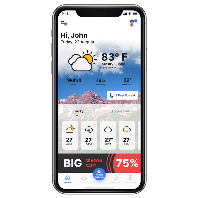
Keep ahead of the storm and plan your adventures with the most accurate forecast in the Roaring Fork Valley. Weather forecasting tailored to your outdoor needs.
Outdoor Enthusiasts, Vacationers, Aspen Second Home Owners, Pilots Flying Into Aspen Airport
Click to Blue arrow to learn more about the awesome Aspen weather service from AspenWeather.net
Click to Blue arrow to learn more about the awesome Aspen weather service from AspenWeather.net
MOBILE APP NOTIFICATION
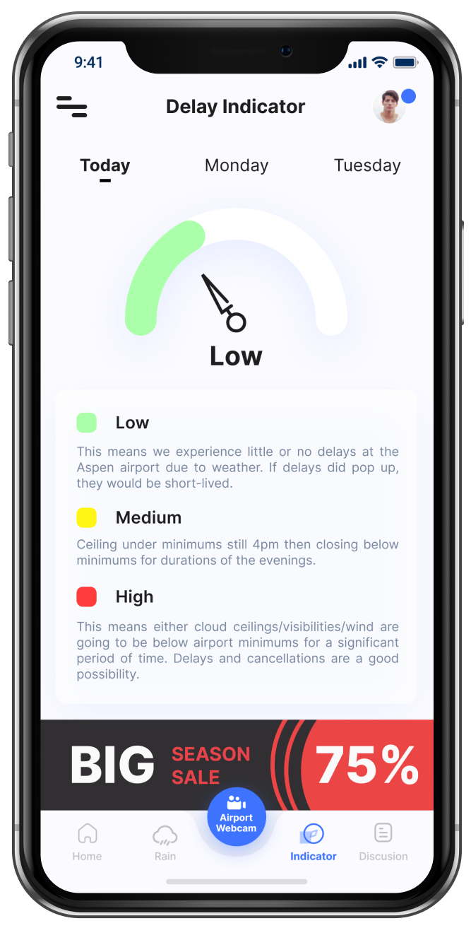
Download our mobile app for accurate Aspen weather on the go.